
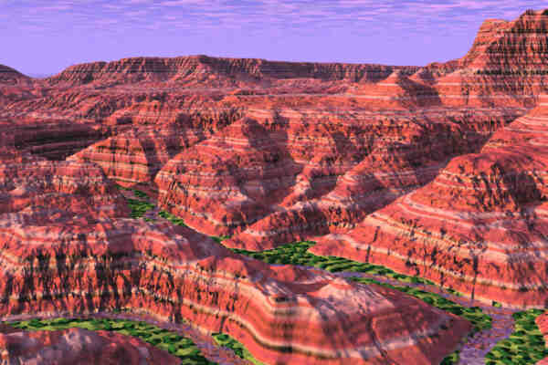
The images below illustrate how geology is expressed in the landscape. They were constructed using Metatools Bryce3D (both the Windows and Mac versions), an incredible virtual landscape generator. These and many similar images, along with numerous color photographs, will be incorporated in my forthcoming (actually, I'm writing it right now) book Geologic Scenery of the Southwest. All images are really compressed JPEG format, and so contain some compression-processing artifacts that are not in the original bitmaps. Trading quality for download time!
By Request -- Instructions for Using USGS Digital Elevation Models (DEM) in Bryce 3D
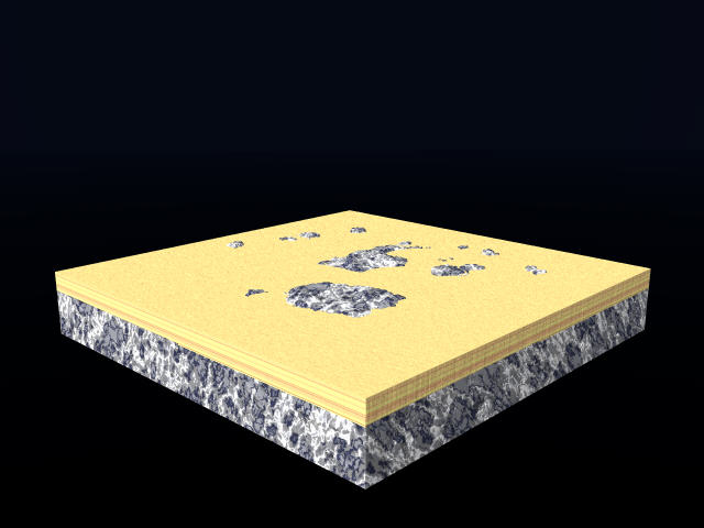
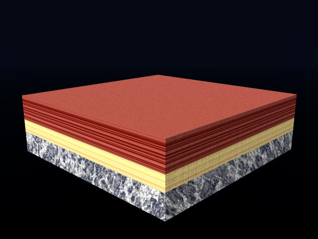
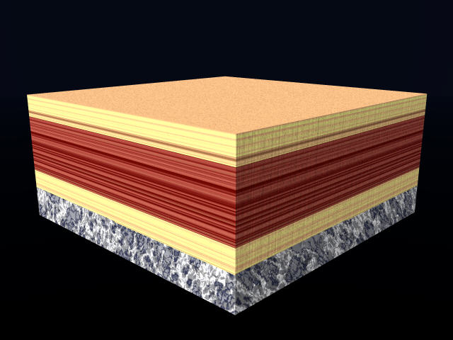
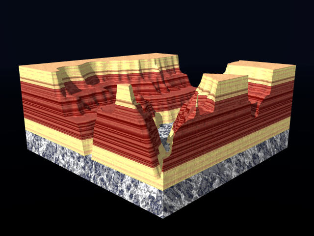
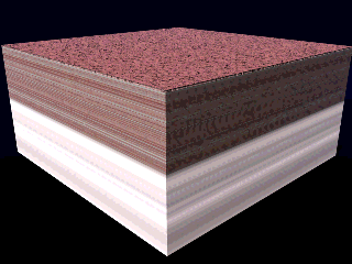
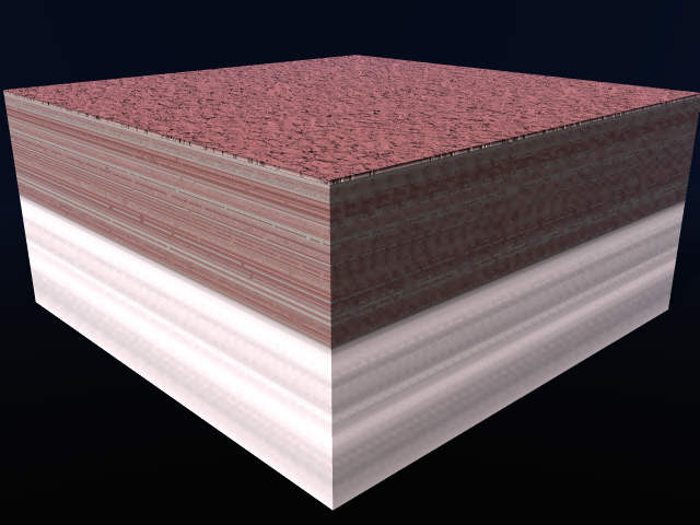
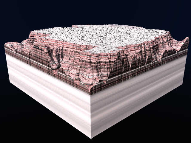
These images show succesive deposition of layers and then their erosion into a canyon landscape. They are 30 to 50 kb each. The sequence of colors, with red in the middle and yellowish on top and bottom, are intended to represent in a general sense the sequence in the Grand Canyon.
Deposition of First Layer --- Deposition of Second Layer
Deposition of Third Layer --- Erosion of Layers by Canyon
Want to see the animated-gif version? It's 120Kb, so will play slowly the first time through as it loads each image, and then will speed up.
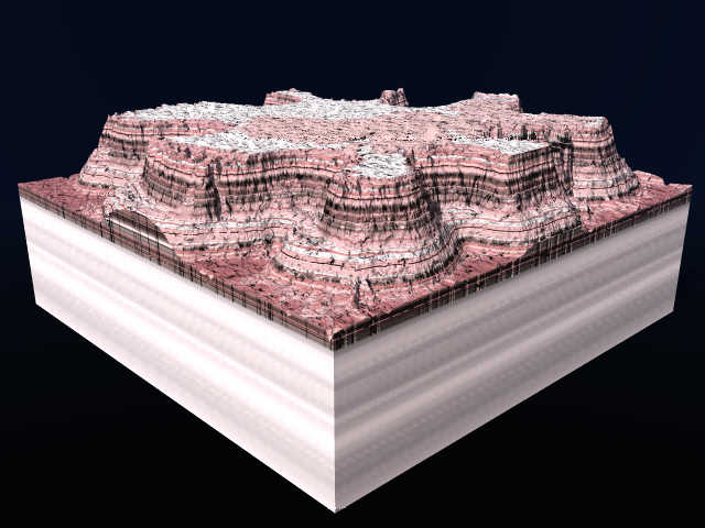
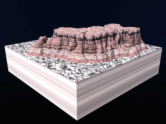
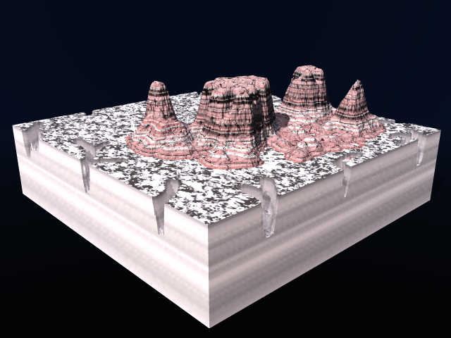
This sequence shows how erosion of layered rocks result in mesas and buttes.
Deposition of Layers
Begin Erosion
More Erosion
Formation of Mesa
Formation of Buttes
Buttes with other cliffs in background and natural
sky
Mogollon Rim, viewed toward the east, from above Payson
Canyonlands small (individual rock units are not
shown yet, but will be)
Canyonlands larger (the real big one isn't on my
website)
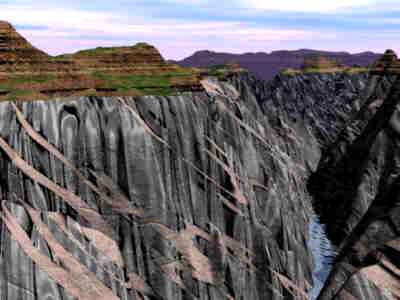
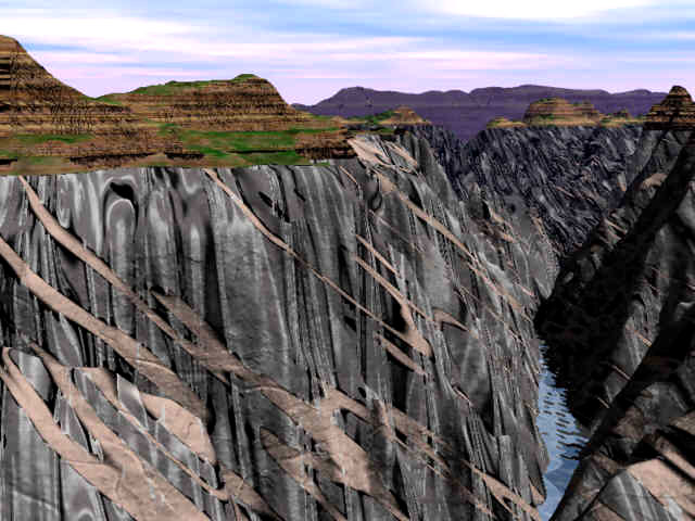
Black Canyon of the Gunnison, with metamorphics, dikes, and
great unconformity.
Bigger version of the Black Canyon image.
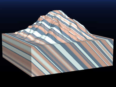
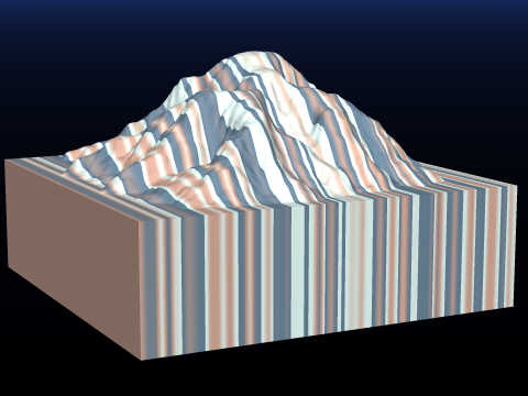
Horizontal
layers
Dipping 15
degrees up stream
Dipping
20 degrees down stream
Dipping
25 degrees to the side
Dipping 45
degrees up stream
Vertical
layers
Horizontal Layers on a Plateau
Horizontal Layers on a Plateau
with Sand Cover
Gently Tilted (10 degrees) Layers and
Topography
Moderately Tilted (45 degrees) Layers On Generic
Topography
Moderately Tilted (45 degrees) Layers on
Generic Topography with Sand Cover
Vertical Layers On Generic Topography
Vertical Layers On Linear Ridges
with Sand Cover
Throw in Some Vegetation on the Flat Areas
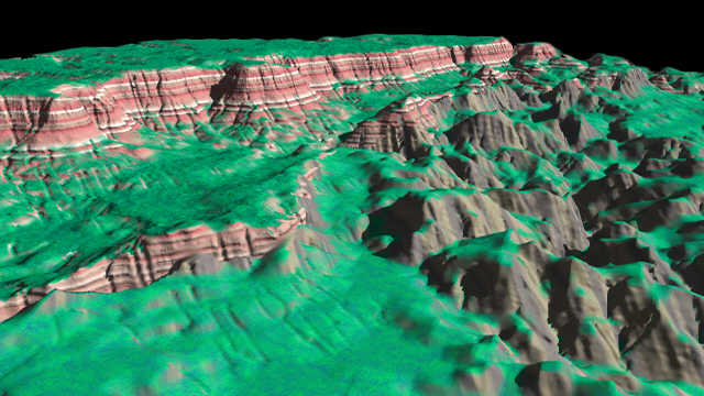
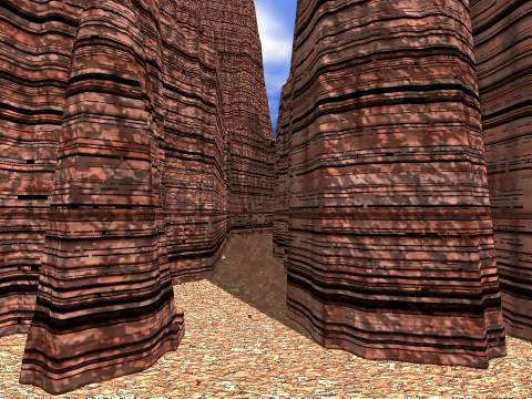
For these images, I used Bryce2 to develop a sophisticated bump map that has a striated and ribbed cliffs and softer, bumpy texture on gentle slopes. It's just like the real thing, with joints and bedding visible in the cliffs, but not on the soil-covered, softer layers.
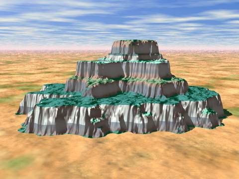
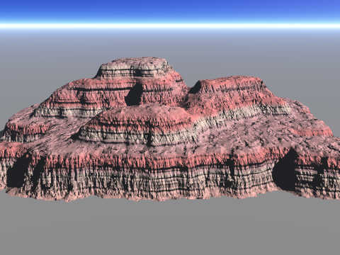
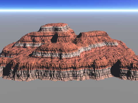
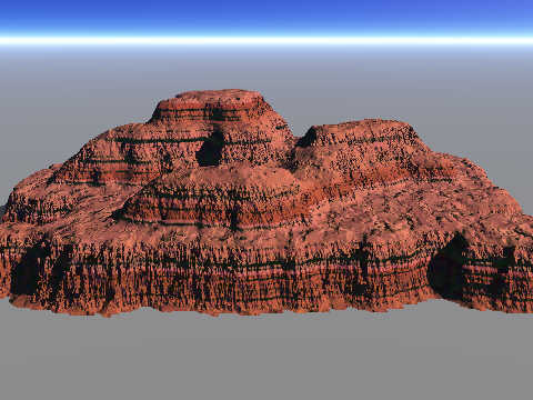
Gray and Pink --- Gray and Orange --- Red and Orange
The Big Version of Slot Canyon
Geologic Map of Arizona Draped Over
Digital Topography (DEM) of the Mogollon Rim
Geologic
Map of Arizona Draped Over DEM of Marble Platform
Geologic
Map of Arizona Draped Over DEM of Marble Platform Close-Up
Email: Steve Reynolds: sreynolds at asu.edu
All Images © Stephen J. Reynolds. Noncommercial uses are OK as long as source is acknowledged.
Page created by: S. Reynolds.