Welcome to the actual 3D Geologic Map Gallery, which has links to QuickTime Virtual Reality (QTVR) movies of classic geologic maps draped over digital topography. Each movie consists of a 3D perspective of the map area that the user can rotate using the mouse to view the area from any direction. This site allows you to see how the geology relates to topography and get a feel for the 3D nature of geologic maps and structures.
To use this site you will need QuickTime installed on your computer, either as a plug-in for your browser or as a stand-alone application to run downloaded files. To access a movie, click on the link below to bring up the QTVR movie for that area. Alternatively, you can download the file to your computer and run QuickTime as an application separate from your browser. I recommend that you download the files and run QuickTime independent of your browser because the QuickTime plug-in isn't consistent about the size it displays the movies and also causes some odd distortions. To rotate the movie, click and drag your mouse to either the left or the right. Some movies also permit you to tilt the terrain up or down by clicking and dragging your mouse up and down. The movies begin with a perspective viewed toward the north (the little red triangle).
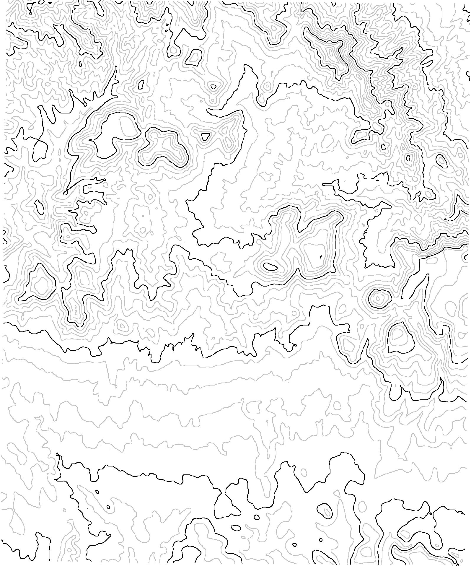
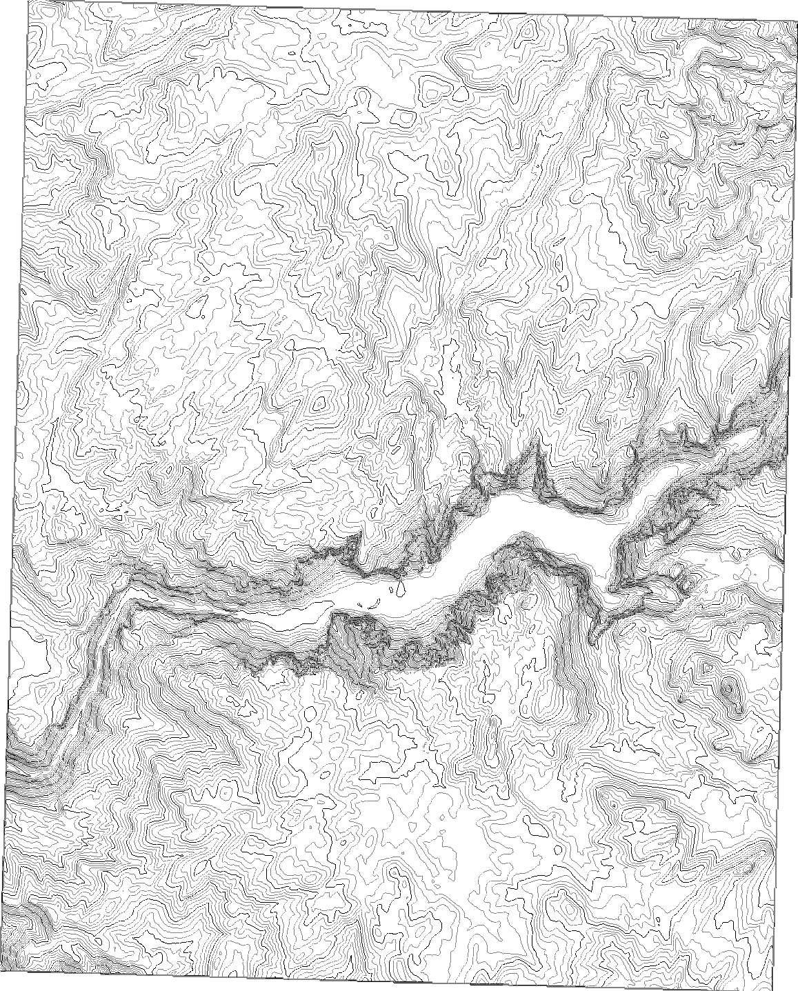
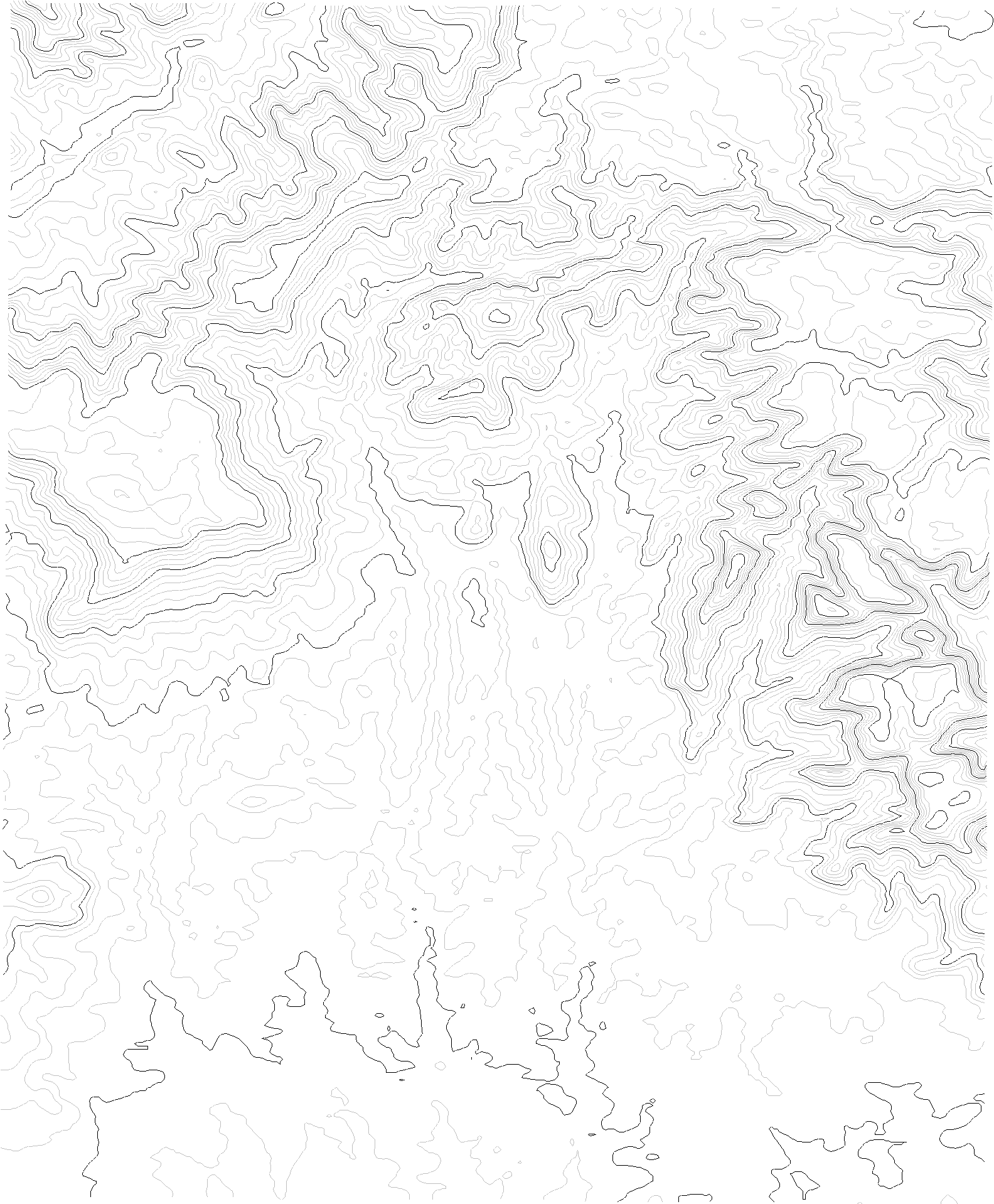
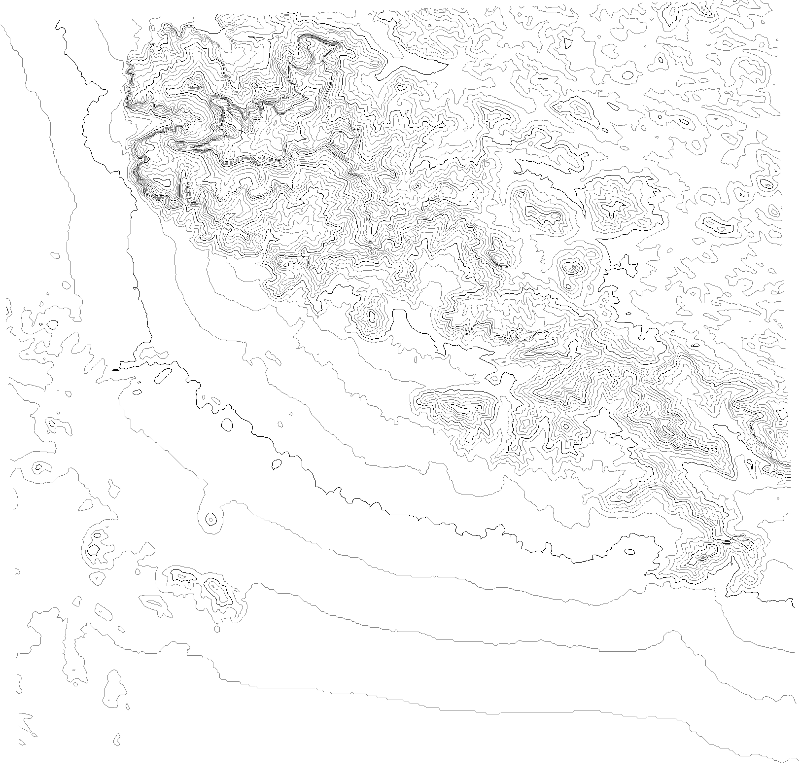
Caution: The QTVR movies are mostly 1 to 3 MB, and so may require 10 or more minutes to download on slow Internet connections. I made the movies as small as I could without sacrificing quality and usability. If you want a quicker view, check out the single 3D image instead. Contour intervals are mostly 30 meters. Use your BACK button to return to this page.
|
Locality and Geologic Features |
QTVR Panoramic Map Movie |
QTVR Spin and Tilt Movie |
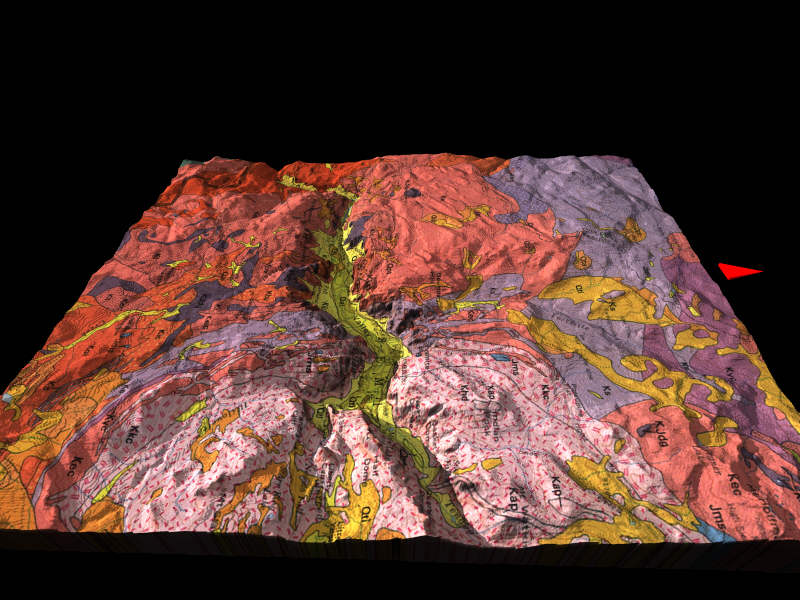
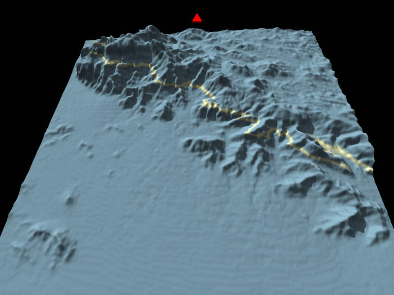
Single 3D-Perspective Image |
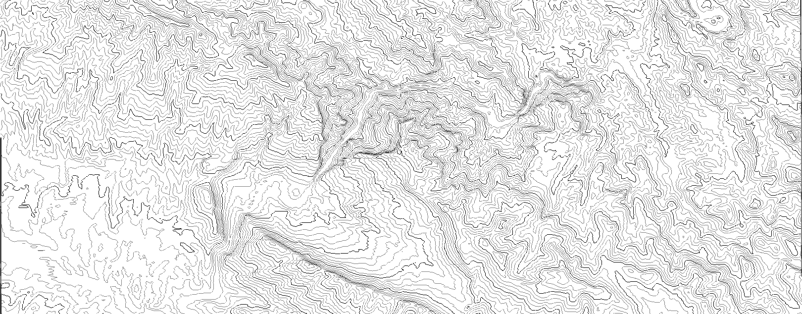
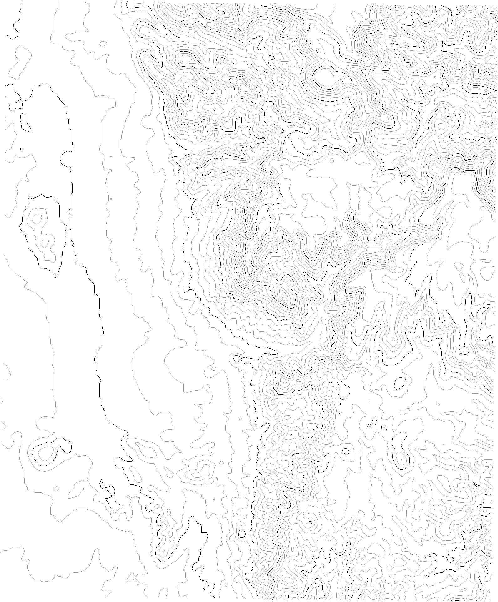
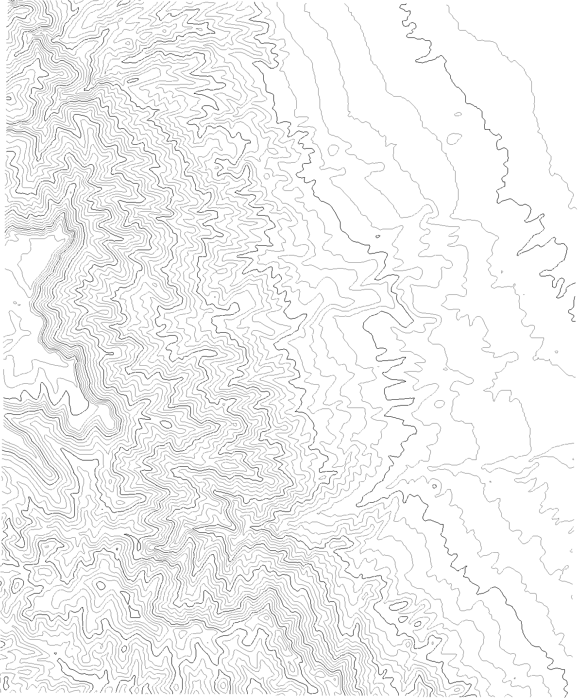
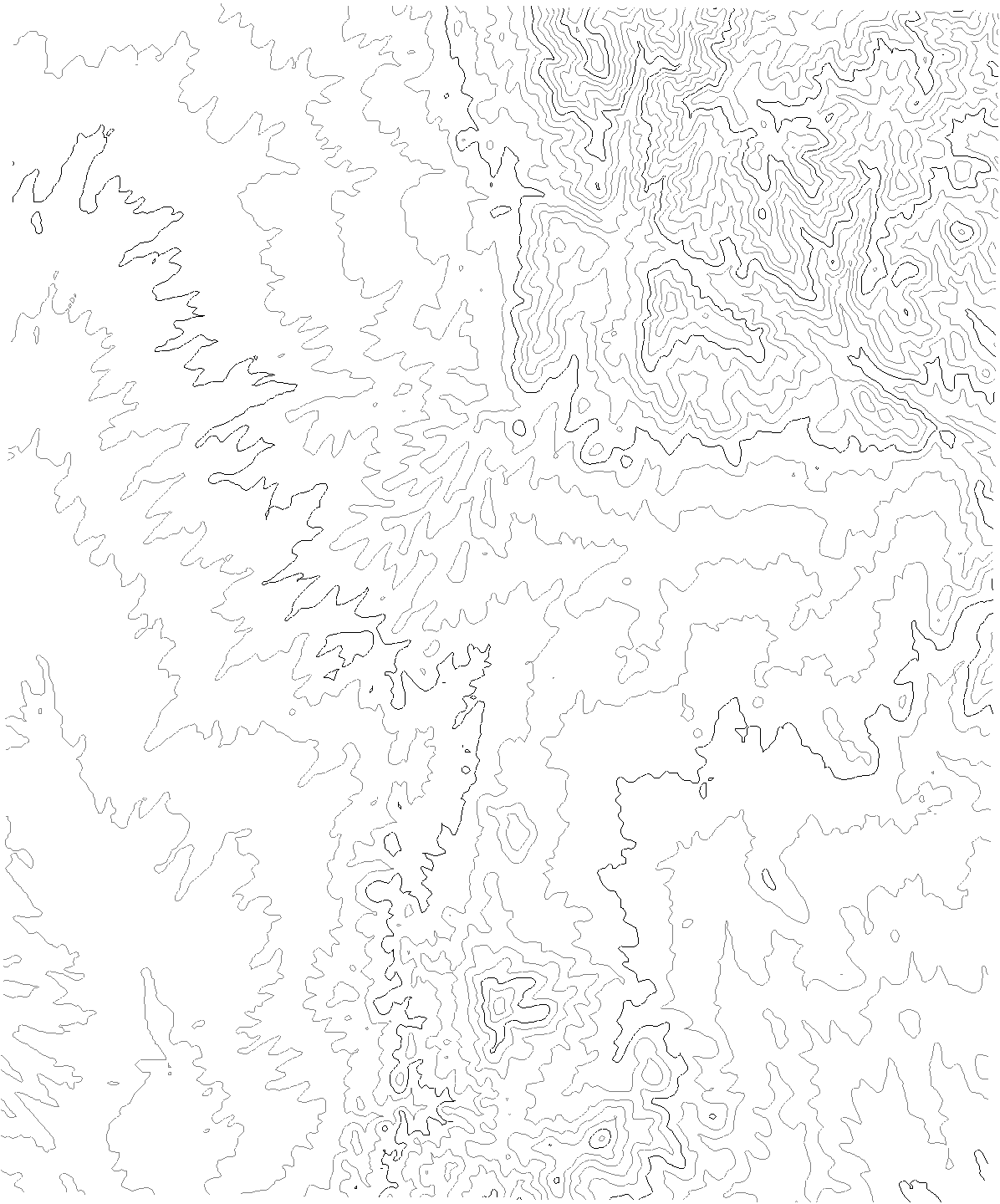
Contour Map |
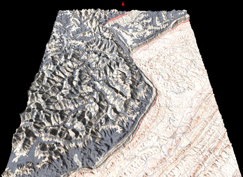
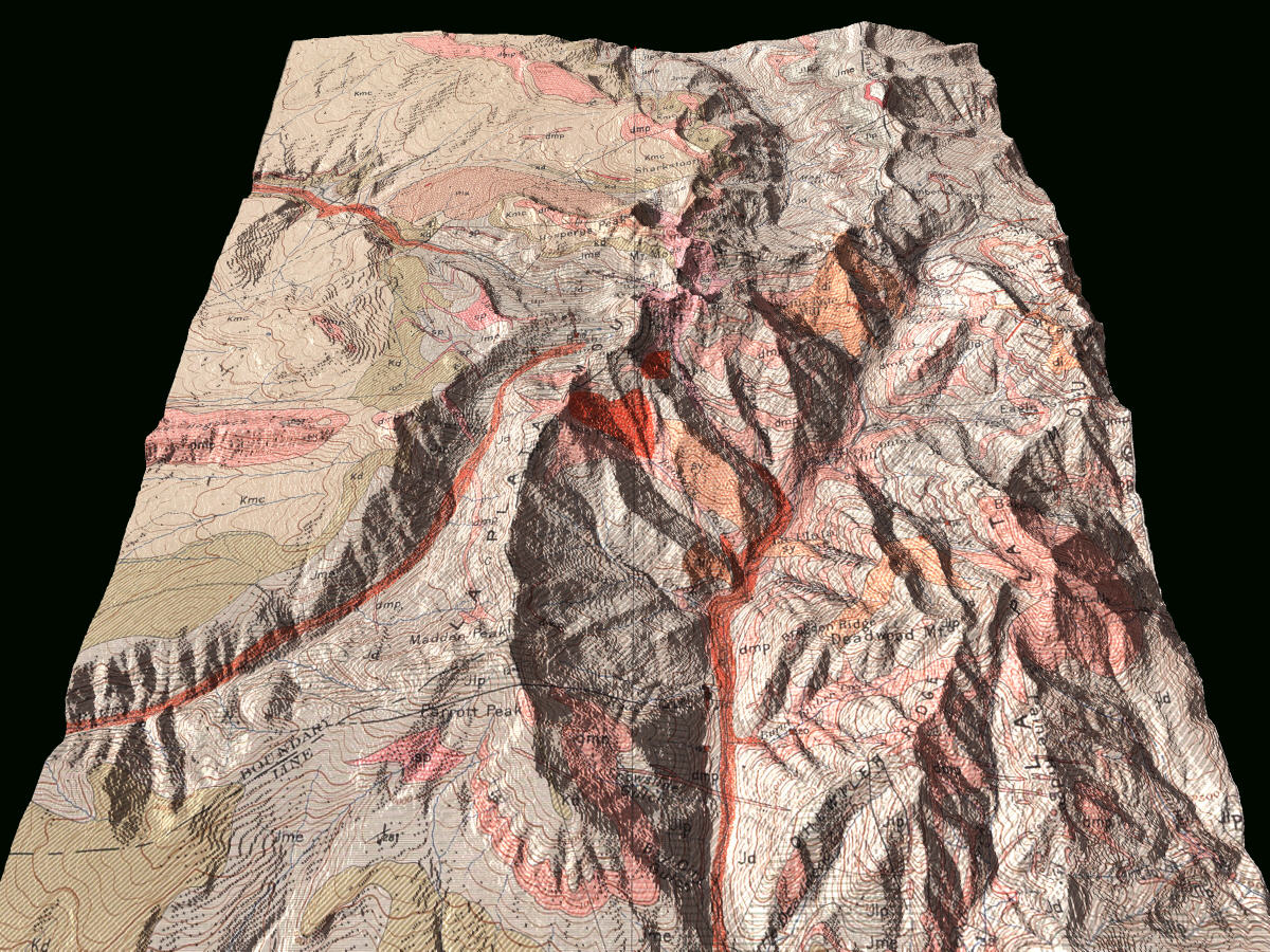
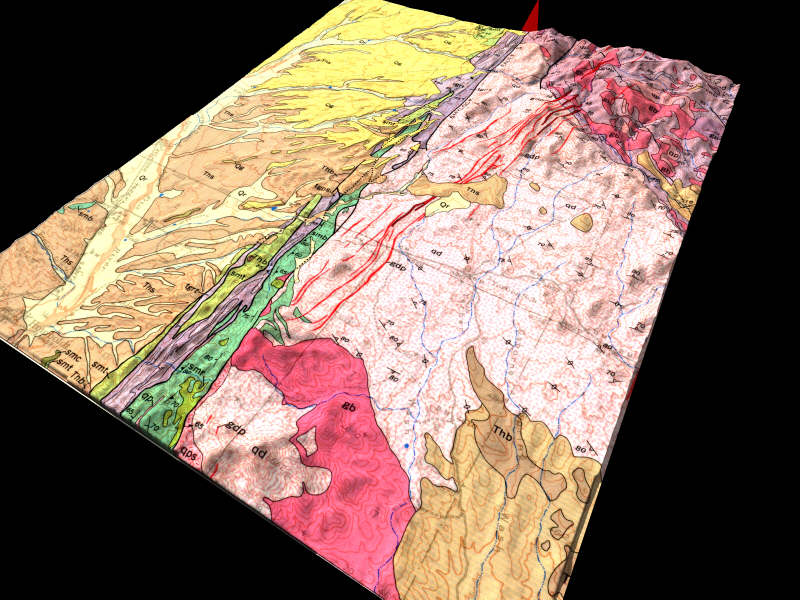
| Bald Mountain, Wyoming: Laramide uplift in the Big Horn Mountains flanked by Mesozoic sediments | Bald Mountain Panoramic Movie | Bald Mountain Movie (11 MB) | Bald Mountain Image | |
| Briceville, Tennessee: Lateral ramp in the Pine Mountain Thrust | Briceville Panoramic Movie | Briceville Movie | Briceville Image | |
| Coconino Point, Arizona: Coconino Point monocline and Little Colorado River Gorge | none yet | Coconino Point Movie | Coconino Point Image | Coconino Point Contours |
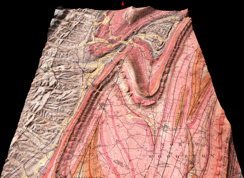
| Hollidaysburg Folio, Pennsylvania (30- minute quad): Amazing folds of lower Paleozoic formations. All four movies are big, some are huge. (Thanks to Barb Tewksbury for this suggestion) | Hollidaysburg Panoramic Movie | Hollidaysburg Movies
800x600 (5Mb) |
Hollidaysburg Image | none yet |
| La Plata Folio, Colorado (30-minute quad): Sills, dikes, and stocks intruding Mz-Pz units. Both movies are big to really huge. (Thanks to Barb!) | none yet | La Plata Movies | La Plata Image | none yet |
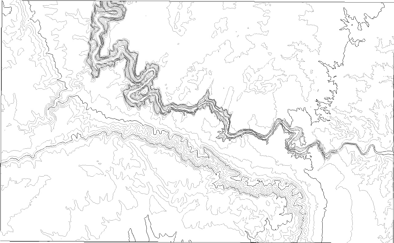
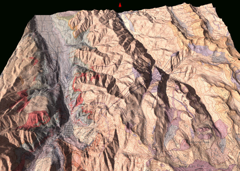
| Mescal Mountains, Arizona: Strike ridges and dip slopes of Paleozoic and Precambrian strata; Tertiary normal faults; Late Cretaceous pluton | none yet | Mescal Mountains Movie | Mescal Mountains Image | Mescal Mountains Contours |
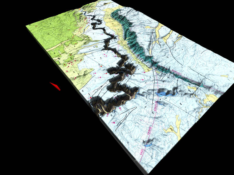
| Maps of 3 parts of Mingus Mountain 15' Quad, near Jerome, Arizona: Basalt mesa; several unconformities; Precambrian structures | none yet | Hickey Mountain
Movie Cottonwood Movie Humboldt Movie Cherry Movie |
Hickey Mountain
Image Cottonwood Image Humboldt Image |
Hickey
Mountain Contours Cottonwood Contours Humboldt Contours Cherry Contours |
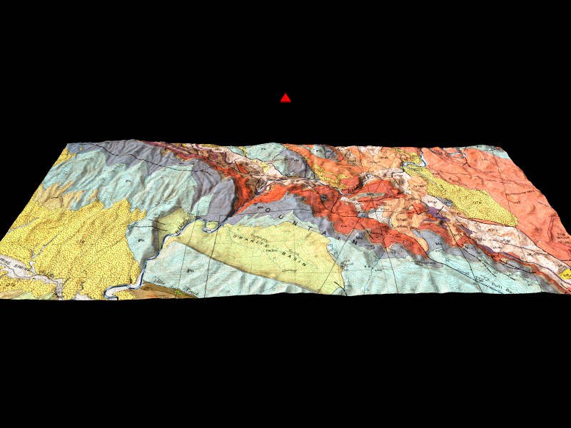
| Ouray Folio, Colorado (south half): Unconformities, volcanics and other features. Thanks to Barb! | none yet | Ouray Movies
800x600 movie (5 Mb) |
Ouray Image | |
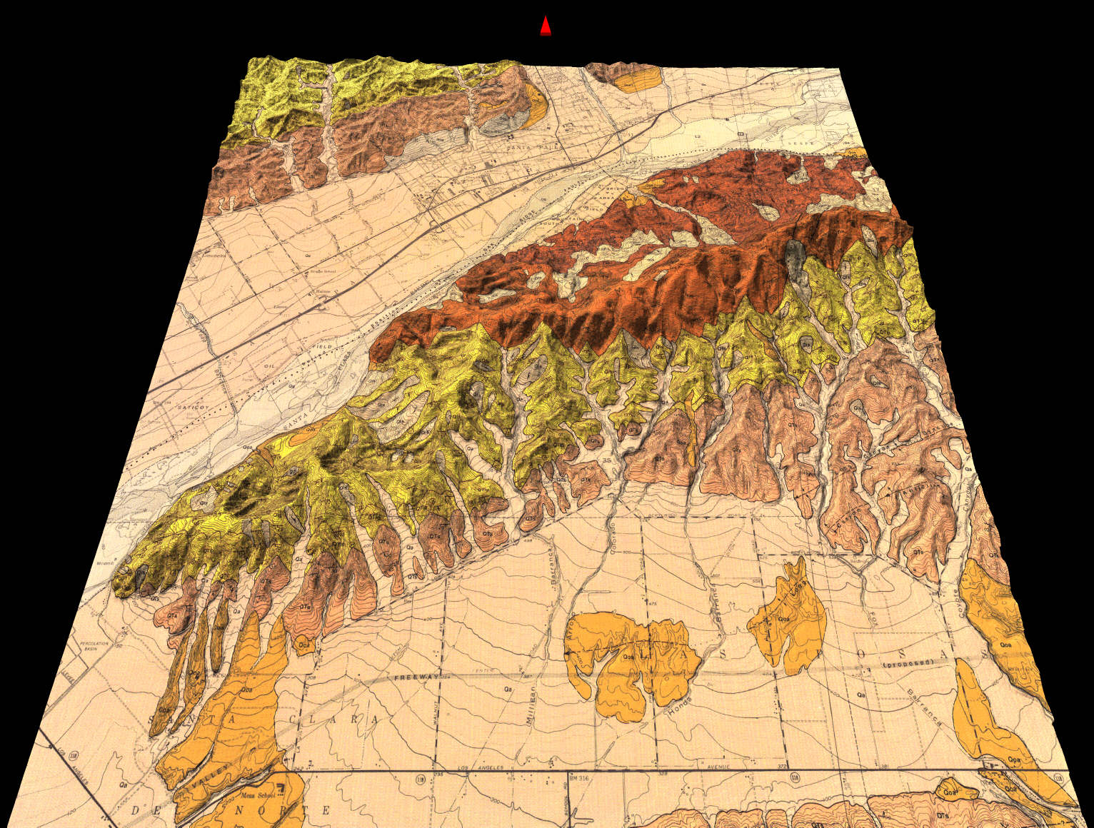
| Santa Paula, California: Tilted and locally folded late Cenozoic units north of Los Angeles | Santa Paula Panoramic Movie | Santa Paula Movie (16 MB) | Santa Paula Image | |
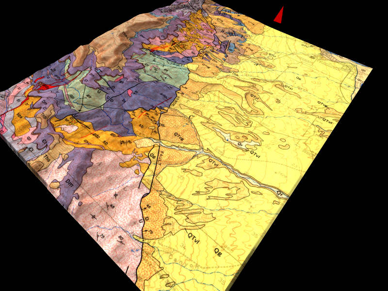
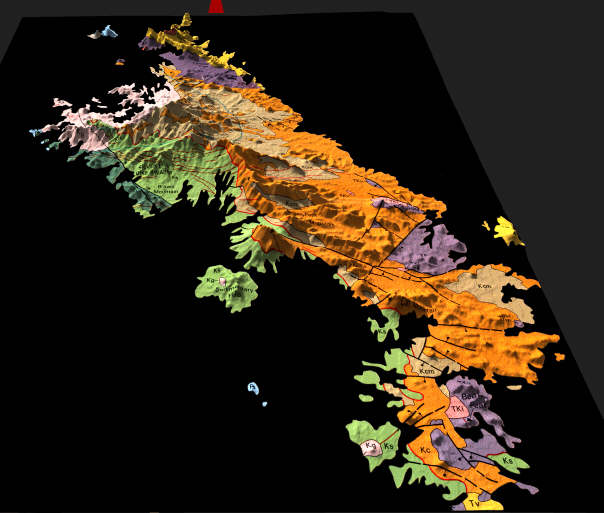
| Tucson Mountains, Arizona: Late Cretaceous caldera and pluton | none yet | Tucson Mountains Movie | Tucson Mountains Image | Tucson Mountains Contours |
| Yosemite, California: Glacial valley and Sierra Nevada Batholith (Thanks to Allen Glazner) | Yosemite Movie | Yosemite Image | Yosemite Contours | |
| The movies and images below show topography of real places, but geology I invented. They give students practice drawing geologic contacts on the associated contour maps. | ||||
| Green-Blue-Brown: Simple layers intersecting topography; topography from Loy Butte, near Sedona, Arizona | Green-Blue-Brown Movie | Green-Blue-Brown Image | Green-Blue-Brown Contours | |
| Yellow Band: Not the famous one from Everest, but an imaginary one in the Kofa Mountains, Arizona | Yellow Band Movie | Yellow Band Image | Yellow Band Contours | |
|
WARNING -- The two files below are huge!!! Do not attempt to download them by modem; they will take all day! |
||||
| Huge Tucson Mtns Movie | Huge
Tucson Mtns Movie This one is 5 MB! |
Rendered at 1200 X 900 pixels. Makes for a great mapping exercise! | ||
| Huge Hickey Mountain Movie | Huge
Hickey Mountain Movie This one is 16 MB!!! |
Created with 144 images, each 800 X 600 pixels, letting the user tilt as well as rotate the map. Way cool, but you can see why I don't do this with all the movies (actually I do, but they can't be included here, only on the CD-ROM). | ||
Return to 3D Geologic Map Home Page
© Copyright 2001 by Stephen J Reynolds. These images can be freely used for educational purposes as long as the source is cited.
Page created by: S. Reynolds