Sample number
Hand sample
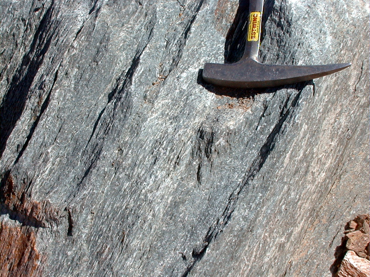
Field, close up
Field, middle distance
1


2


3


4

5


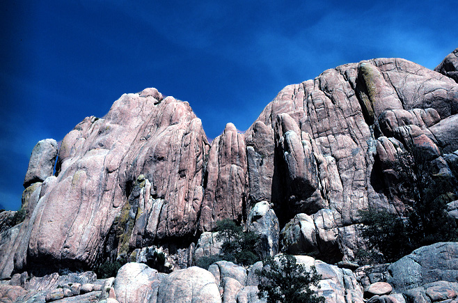
Mingus Mountain is the large mesa (flat-topped mountain) south of Jerome. It is the mountain you drive over to get from Jerome to Prescott, and is a popular place to camp in the summer, away from the valley heat. It has some of the best-known exposures of Precambrian rocks anywhere, as well as some rather amazing geologic structures. The Mingus Mountain area beautifully represents the geology of central Arizona and is similar to areas around Prescott, Payson, Christopher Creek, and Crown King.
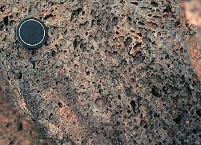
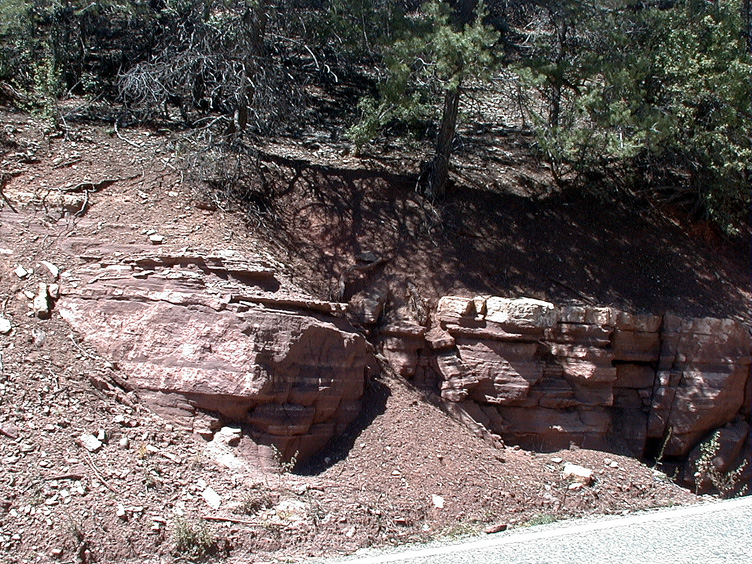
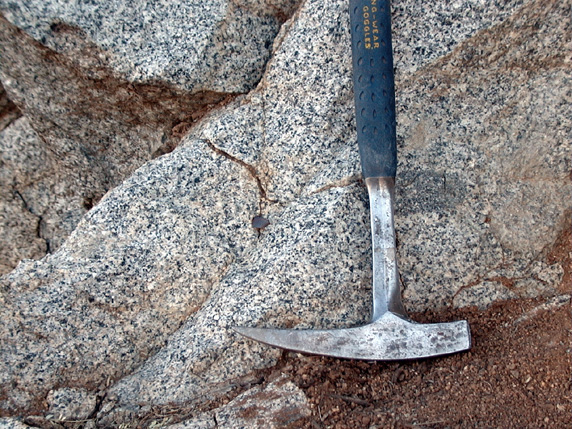
The photographs in the "Hand sample" column below show rock samples for important rock units in the Mingus Mountain area. The "Field, close up" column shows close ups of the rock samples in the field. These may help you identify the rock type, by showing the larger context of the sample (layers or not, etc.). The photographs in the "Field, middle distance" column show a middle distance photograph of the sample location to provide you with a perspective of what kinds of landscapes that rock type forms.
Use your descriptions of the sedimentary, igneous, and metamorphic reference suites (Modules 4, 5, and 6) and the rock identification tables in Appendix E in your lab manual to assign a name to each sample.
After you have assigned names to each rock sample, complete Assessment 11D-1 on Canvas.
Sample number |
Hand sample |
Field, close up |
Field, middle distance |
1 |
|
|
|
2 |
|
|
|
3 |
|
|
|
4 |
|
|
|
5 |
|
|
|
Follow the link below to examine a PDF file of the topographic map of the Mingus Mountain area.
Use the map to answer the questions posed in Worksheet 11D-2 in your lab manual and then complete Assessment 11D-2 on Canvas.
Topographic map of the Mingus Mountain area
The link above leads to a PDF of the topographic map of the northwest part of the Mingus Mountain area. The map is shaded for topography. Zoom in and out and move around like you would with any PDF.
The links below lead to geologic maps of the Mingus Mountain Area, Arizona.
Follow the directions in your lab manual to determine the formation name for each rock sample above. Additionally, use the geologic map to answer the questions in Worksheet 11D-3 in your lab manual and then complete Assessment 11D-3 on Canvas.
Geologic map of the Mingus Mountain Area
The link above leads to a PDF of the geologic map of the entire Mingus Mountain map. It is the published map with the legend. The other files on this page only cover the southwestern part of this map.
Geologic map of the Mingus Mountain Area
The link above leads to a PDF of the geologic map of the northwest part of the Mingus Mountain area. The geology is draped over topography (shaded according to the topography). Zoom in and out and move around like you would with any PDF.
Goolge Earth file (.kmz file) of the geologic map of the Mingus Mountain Area
You can download the file above if you are interested in observing the geology of the entire Mingus Mountain Area in three dimensions using Google Earth.