 |
Satellite
images, like the one to the left, provide a way to view Earth at a scale
comparable to standard topographic maps. Maps provide a means of defining the location of a specific point or area,
so that exact position can be found again at a later date.
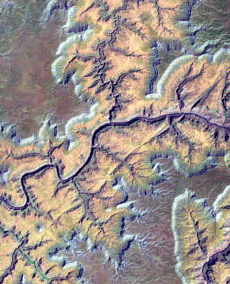
In this
exercise, you will be provided with a satellite image, or other 3D image,
with location numbers placed on top of the topography. You will locate
these specific points on a topographic map by identifying and comparing
nearby features of the landscape.
|