Exercise 7B

Mapping the Geology of Painted Canyon

Now it is time to make a geologic map of Painted Canyon. Since you cannot hike around in Painted Canyon, you will have to use the images taken by the reconnaissance team instead.

Begin by watching this short movie about how to construct a geologic map. Note that you will need to use all the perspectives below to map the designated area of Painted Canyon, as shown on the worksheet, NOT just the small area shown and mapped in the movie. The movie will take a short while to load.

Movie Showing How to Map Painted Canyon (with closed captioning via MediaAMP)

Movie Showing How to Map Painted Canyon (without closed captioning)

Click on the thumbnail images below to examine larger images, which show 3D perspectives of Painted Canyon. Complete the exercise as described in your lab manual. Then, complete Assessment 7B on Canvas.


Especially useful in starting your geologic map will be the first three images below, which label key places to help you begin drawing the boundaries (contacts) between different rock units.

Geologic Map Hint 1:
Labeled overview with smoothed topography, looking north.

hints 1


Geologic Map Hint 2:
Labeled overview with smoothed topography, looking east.

hints 2


Geologic Map Hint 3:
Labeled overview with smoothed topography, looking west.

hints 3


Next, view the overviews and panoramas to extend your contacts away from the key places. You will need to draw contacts and color in the geology for the entire unlined area on the worksheet.

Overviews of Painted Canyon

Overview, looking north.

looking north


Overview, looking west.

looking west


Overview, looking south.

looking south


Overview of southern part
of area, looking east.

southern end looking east


Looking down and northeast,
showing an artificially produced
cross-section view along the
western edge of the map area.

cross section looking northeast


Looking west at an artificially
produced cross-section view along
the eastern edge of the map area.

cross section looking west


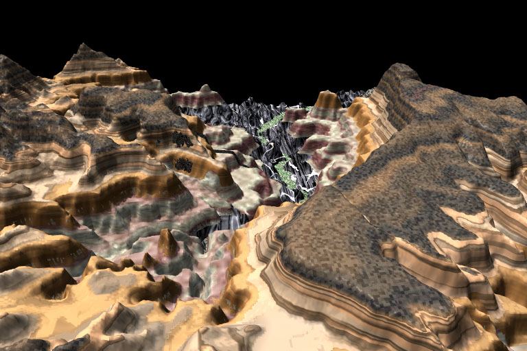
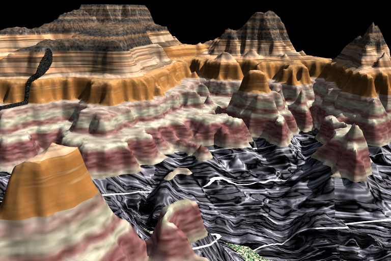
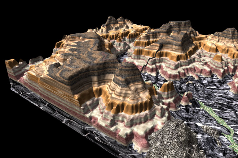
Panoramas of Painted Canyon: The links below will take you to panoramas, which are provided in two formats, allowing you to use whichever format works best on your device.

QuickTime Virtual Reality (QTVR) panoramas: These require QuickTime (work best with QuickTime 7) and allow you to pivot and look in any direction (360ยบ and up or down) by clicking the mouse while dragging the cursor in the direction to which you want to turn.  

Canyon floor, central canyon

Southern part of canyon

Eastern part of canyon

North-central part of canyon

Northern part of canyon, high vantage

Northern part of canyon, low vantage

Deep within central part of canyon

Canyon overview with smoothed look


MP4 Movies: These movies should play on any device, including tablets, and are higher resolution than the QTVR files, but the files are larger (7-10 Mb). The movies start with a view to the north and rotate clockwise in 2-degree increments, allowing you to stop the movie in any direction.

Central part of canyon (MP4)


Northern part of canyon (MP4)


Southern part of canyon (MP4)

 (in this last movie, some frames toward the south contained little useful information, so were deleted)

Finally, after you've looked at the images and panoramas above, be sure to view the aerial image below.

aerial image


Module 7 Home