Welcome to the Structure Map 3D Gallery, which has links to QuickTime Virtual Reality (QTVR) movies of invented geology contained within digital topography. Each movie consists of a 3D perspective of the map area that the user can rotate using the mouse to view the area from any direction. This site allows you to see how the geology relates to topography, such as the outcrop pattern of dipping layers, and to apprehend the 3D nature of geologic maps and structures.
To use this site you will need QuickTime installed on your computer, either as a plug-in for your browser or as a stand-alone application to run downloaded files. To access a movie, click on the link below to bring up the QTVR movie for that area. Alternatively, you can download the file to your computer and run QuickTime as an application separate from your browser. I recommend that you download the files and run QuickTime independent of your browser because the QuickTime plug-in isn't consistent about the size it displays the movies and also causes some odd distortions. To rotate the movie, click and drag your mouse to either the left or the right. Some movies also permit you to tilt the terrain up or down by clicking and dragging your mouse up and down. The movies begin with a perspective viewed toward the north (the little red triangle).
Caution: The QTVR movies are mostly 1 to 3 MB, and so may require 10 or more minutes to download on slow Internet connections. I made the movies as small as I could without sacrificing quality and usability. If you want a quicker view, check out the single 3D image instead. Contour intervals are mostly 30 meters. Movies begin with a view to the north. Use your BACK button to return to this page.
|
Locality and Geologic Features |
Link to QTVR Movie |
Link to Single |
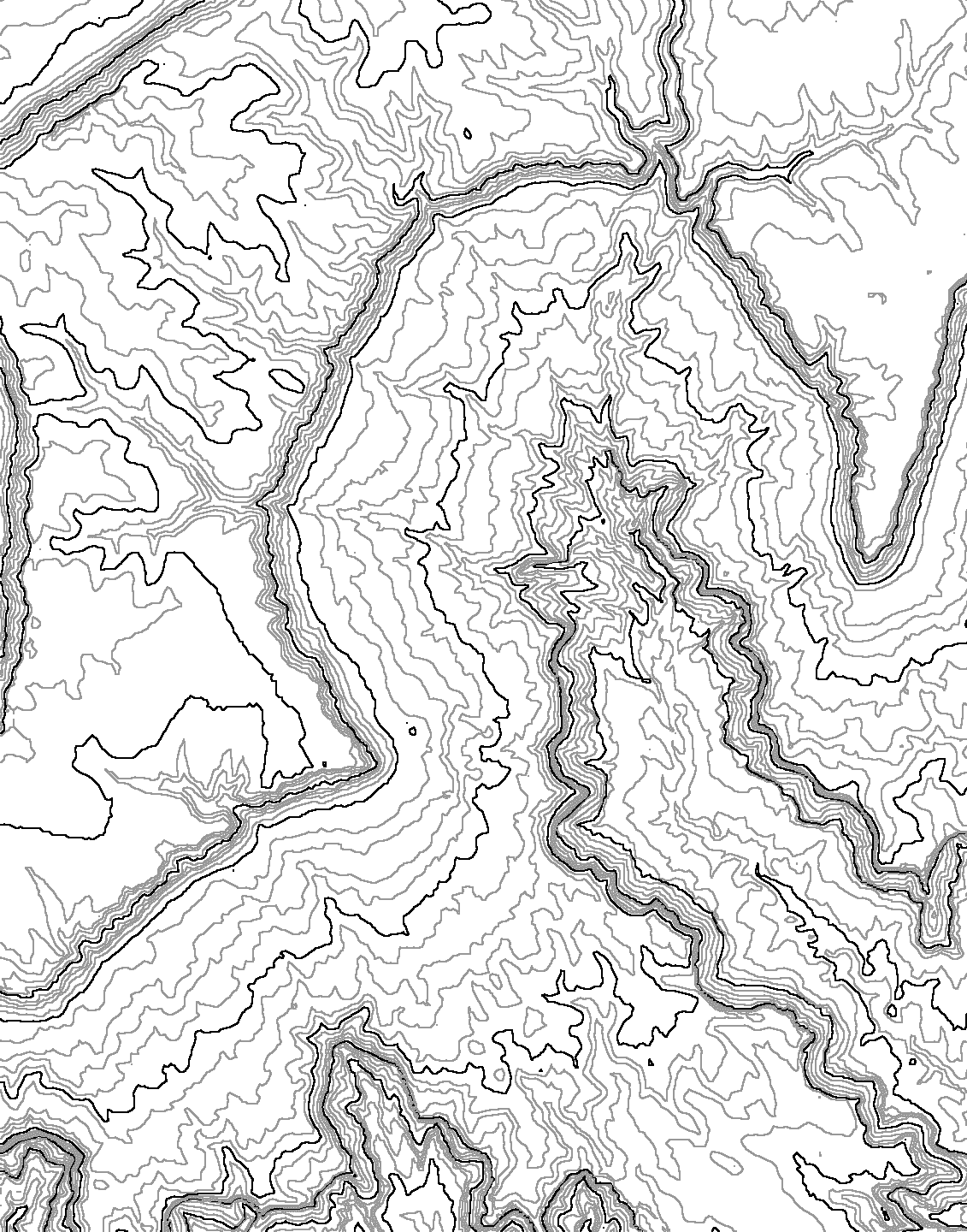
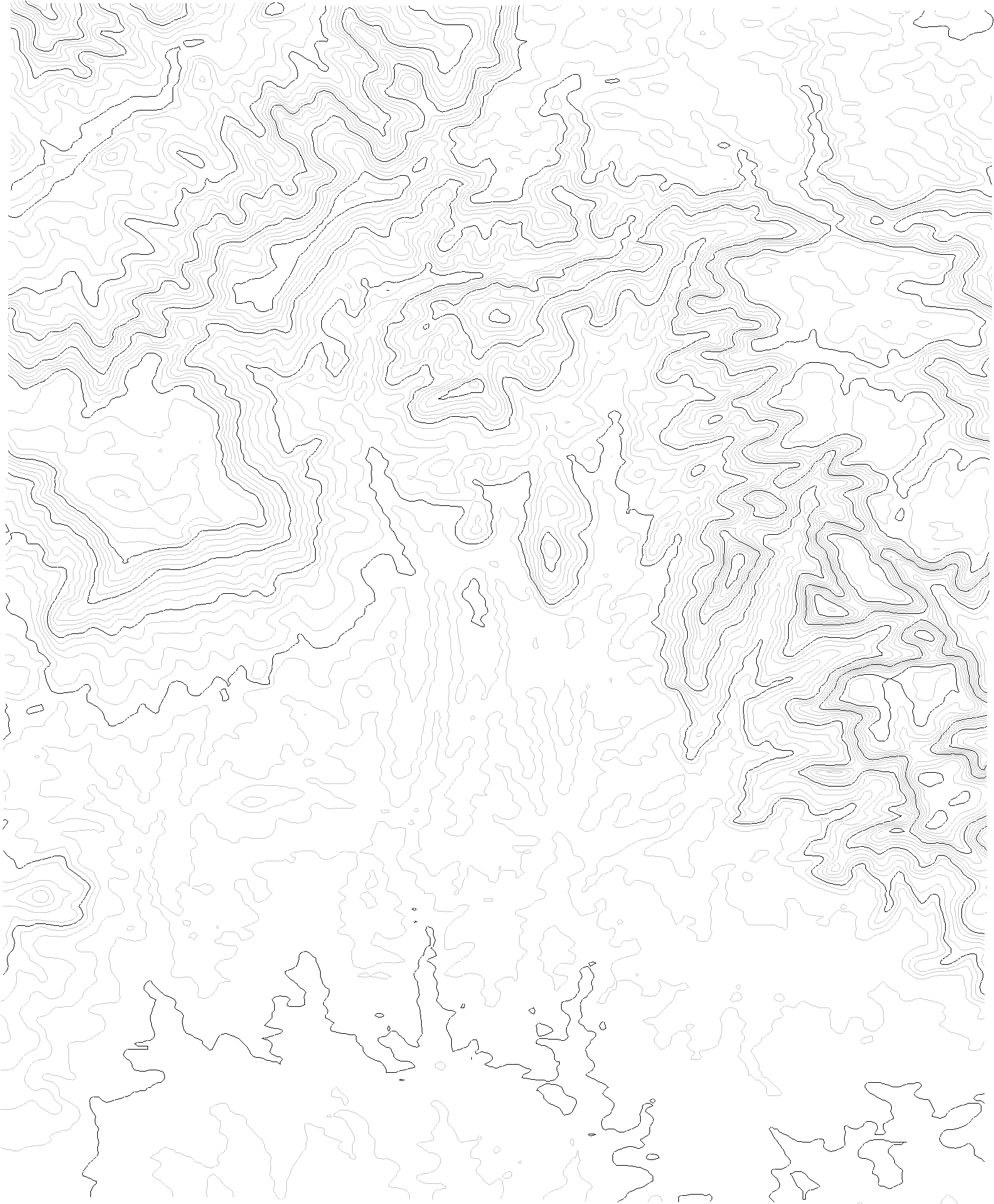
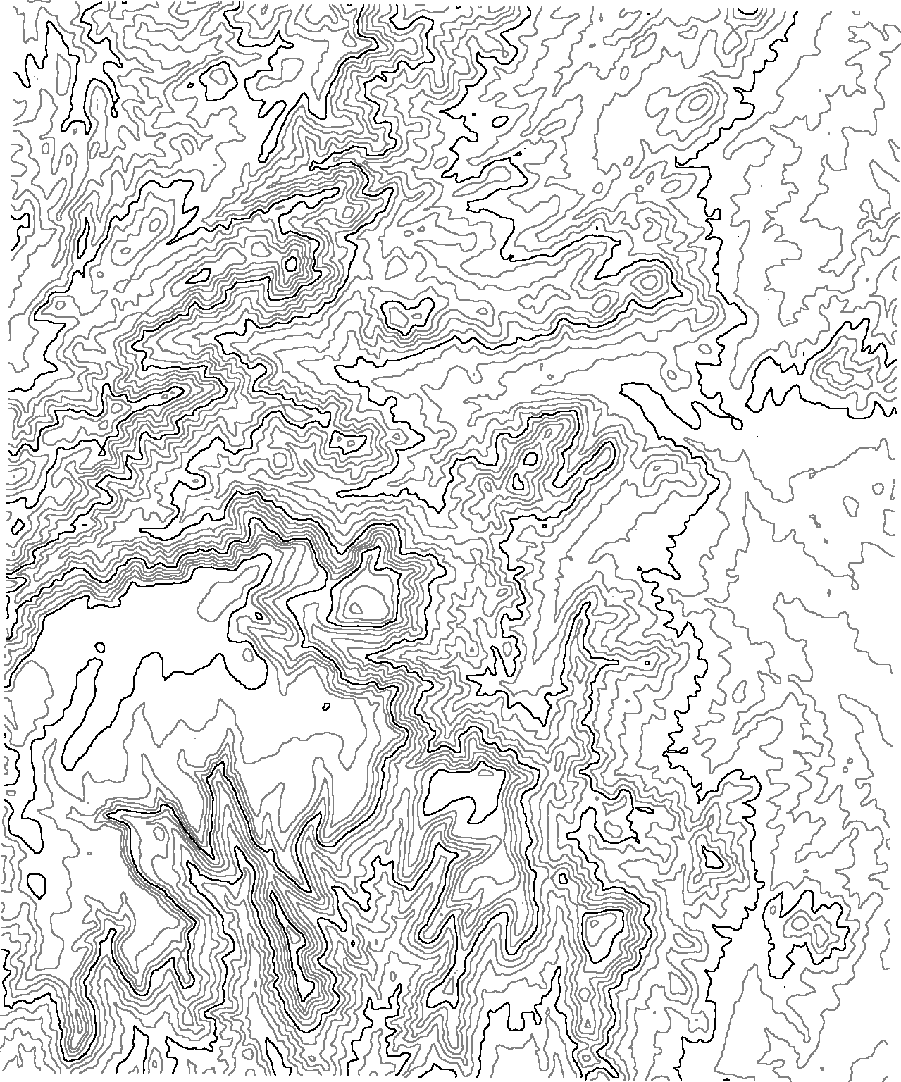
Contour Map |
| Simple Topographic Features | |||
| Simple Hill: Adjustable layer intersecting contours | Hill LayerTilt Movie | Hill Contour Map | |
| Simple Hill - Higher: Adjustable layer intersecting contours, but higher plane than above movie | Hill LayerTilt Movie | Hill Contour Map | |
| Simple Valley: Adjustable layer intersecting contours | Valley LayerTilt Movie | Valley Contour Map | |
| Quadrangles | |||
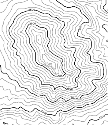
| Poland Junction, Arizona: Layer dipping 20 degrees to the west | Poland Junction Movie | Poland Junction Contours | |
| Poland Junction, Arizona: Layer dipping gently to northwest | Poland Junction Movie | Poland Junction Contours | |
| Poland Junction, Arizona: Gently plunging anticline: File is 3 MB. | Poland Junction Movie | Poland Junction Contours | |
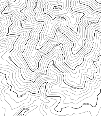
| New River Mesa, Arizona: Layer dipping 10 degrees (let these New River movies finish loading to view toward the north) | New River Mesa Movie | New River Mesa Contours | |
| New River Mesa, Arizona: Layer dipping 20 degrees | New River Mesa Movie | New River Mesa Contours | |
| New River Mesa, Arizona: Layer dipping 15 degrees down canyon | New River Mesa Movie | New River Mesa Contours | |
| New River Mesa, Arizona: Layer with fully adjustable dip | New River Mesa Movie with adjustable dip | New River Mesa Contours | |
| New River Mesa, Arizona: Layer with fully adjustable dip and partially transparent plane projecting out of terrain: use with movie above to help students visualize, both with and without the visual help of the plane | New River Mesa Movie with adjustable dip and partially transparent plane | New River Mesa Contours | |
| New River Mesa, Arizona: Layer with fully adjustable dip and partially transparent plane projecting out of terrain -- Bigger Version (1000 X 1000 pixels per image = 2 MB file) | New River Mesa Movie with adjustable dip and partially transparent plane | New River Mesa Contours | |
| New River Mesa, Arizona: Layer with fully adjustable dip and partially transparent plane projecting out of terrain with contours -- Big Version (1000 X 1000 pixels per image = 3 MB file). | New River Mesa Movie with adjustable dip and partially transparent plane with draped contours | New River Mesa Contours | |
| New River Mesa, Arizona: Layer with fully adjustable dip and corresponding map view -- very cool! | New River Mesa Movie with adjustable dip and map view | New River Mesa Contours | |
| Gateway Rapids, Grand Canyon, Arizona: Gently dipping layer | Gateway Rapids Movie | Gateway Rapids Contours | |
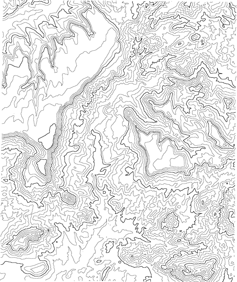
| The Pillar, New Mexico: Gently dipping layer in badlands-escarpment type of geology. Very Large file (8 MB), but great for mapping exercises (2-row movie gives different elevation perspectives) | Pillar Movie | Pillar Contours (10m) | |
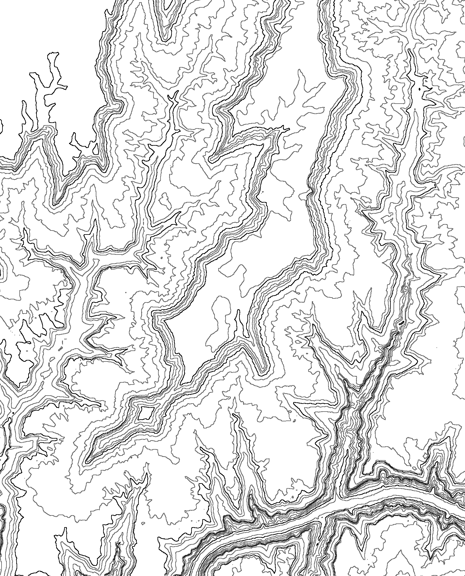
| Dry Rock Creek, Lake Powell, Utah: Gently dipping layer (3-row movie; larger file size, but you can tilt terrain); starts off with NW view. | Dry Rock Creek Movie | Dry Rock Creek Contours | |
| Yellow Band: Not the famous one from Everest, but an imaginary one in the Kofa Mountains, Arizona | Yellow Band Movie | Yellow Band Contours | |
| Green-Blue-Brown: Simple layers intersecting topography; topography from Loy Butte, near Sedona, Arizona | Green-Blue-Brown Movie | Green-Blue-Brown Contours | |
| The movies and images below show topography of real places, but geology I invented. They give students practice drawing geologic contacts on the associated contour maps. | |||
|
WARNING -- The files below are huge!!! Do not attempt to download them by modem; they will take all day! |
|||
| Poland Junction, Arizona: Contours and projected trace of layers with 5, 15, 30, and 45 degree dips (with vertical exaggeration) | Poland Junction Movie 11 MB file!!! |
Poland Junction Contours | |
| Poland Junction, Arizona: Contours and projected trace of layers with 5, 15, 30, and 45 degree dips (no vertical exaggeration) | Poland Junction Movie 11 MB file!!! |
Poland Junction Contours | |
| Poland Junction, Arizona: Gently dipping layer -- Large Version | Poland Junction Movie 5 MB file!!! |
Poland Junction Contours | |
| New River Mesa, Arizona: Layer dipping 20 degrees -- Large Version | New
River Mesa Movie 5 MB file!!! |
New River Mesa Contours | |
Return to Structure Map 3D Home Page
© Copyright 2001 by Stephen J Reynolds. These images can be freely used for educational purposes as long as the source is cited.
Page created by: S. Reynolds