The Gallery of Virtual Topography

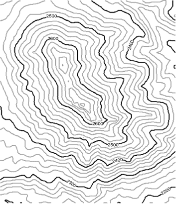
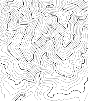
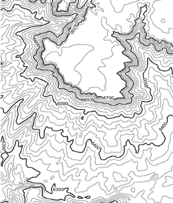
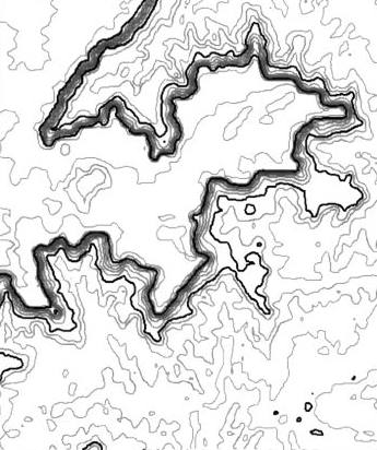
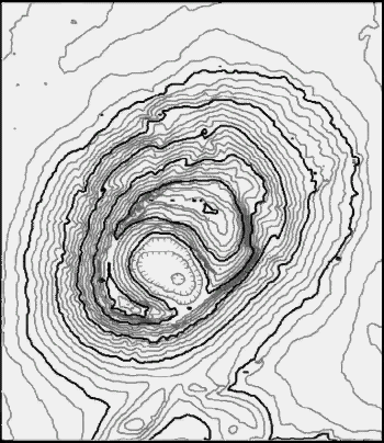
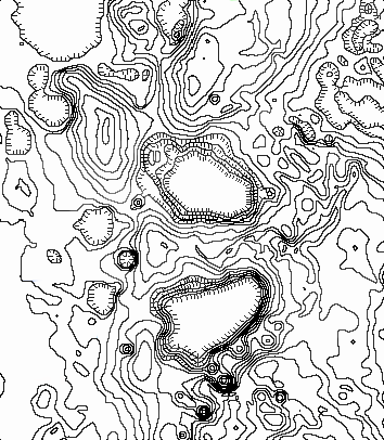
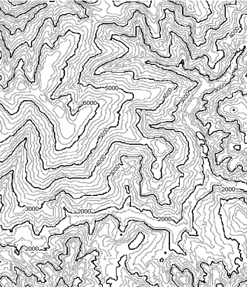
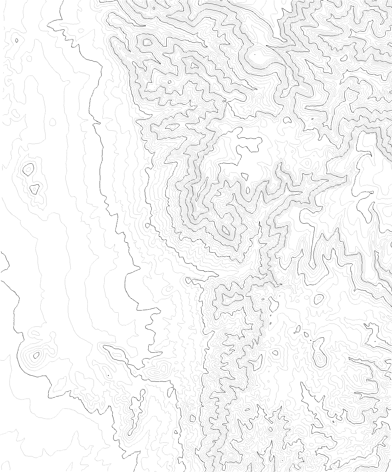
Welcome to the actual Gallery, which has links to QuickTime Virtual Reality (QTVR) and QuickTime (QT) movies of digital topography.  Each movie consists of a 3D perspective of the map area that the user can rotate using the mouse to view the area from any direction.  Some movies have contours draped over topography or let you raise and lower a water plane, so that you can better visualize how the contours are portraying the shape of the land. Some movies have numbered topographic places for students to locate on the contour map; "advanced versions" of these have numbers located on topographic features that are more subtle and more challenging to locate.  To use these number movies for location exercises, view and save the contour map you want, and print it with any graphics program so that it fits on one page. 

To use this site you will need QuickTime installed on your computer, either as a plug-in for your browser or as a stand-alone application to run downloaded files.  To access a movie, click on the link below to bring up the QTVR movie for that area.  Alternatively, you can download the file to your computer and run QuickTime as an application separate from your browser.  I recommend that you download the files and run QuickTime independent of your browser so you can use the movie again and again (we hope you'll want to).

How to Operate Movies:  Most are QTVR movies, where you rotate the terrain by clicking and dragging your mouse to either the left or the right.  Some movies have other things happening when you click and drag your mouse up and down -- for example, tilting the terrain, raising a water plane, or changing the amount of shaded relief.  Non-QTVR movies allow you to simply play the movie by pushing the play (arrow) button, or you can step through the movie by dragging the small diamond that shows your position in the movie.  In either case, the movies begin with a perspective viewed toward the north (the little red triangle).  

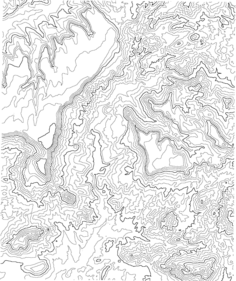
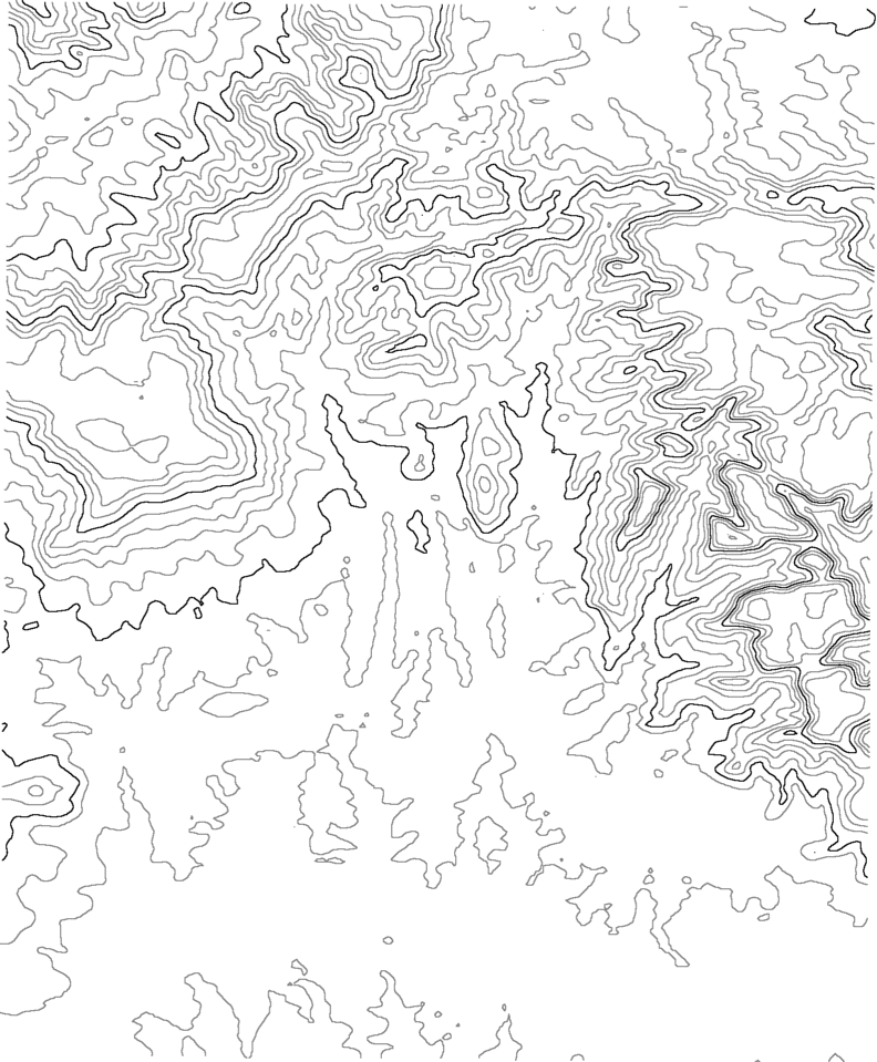
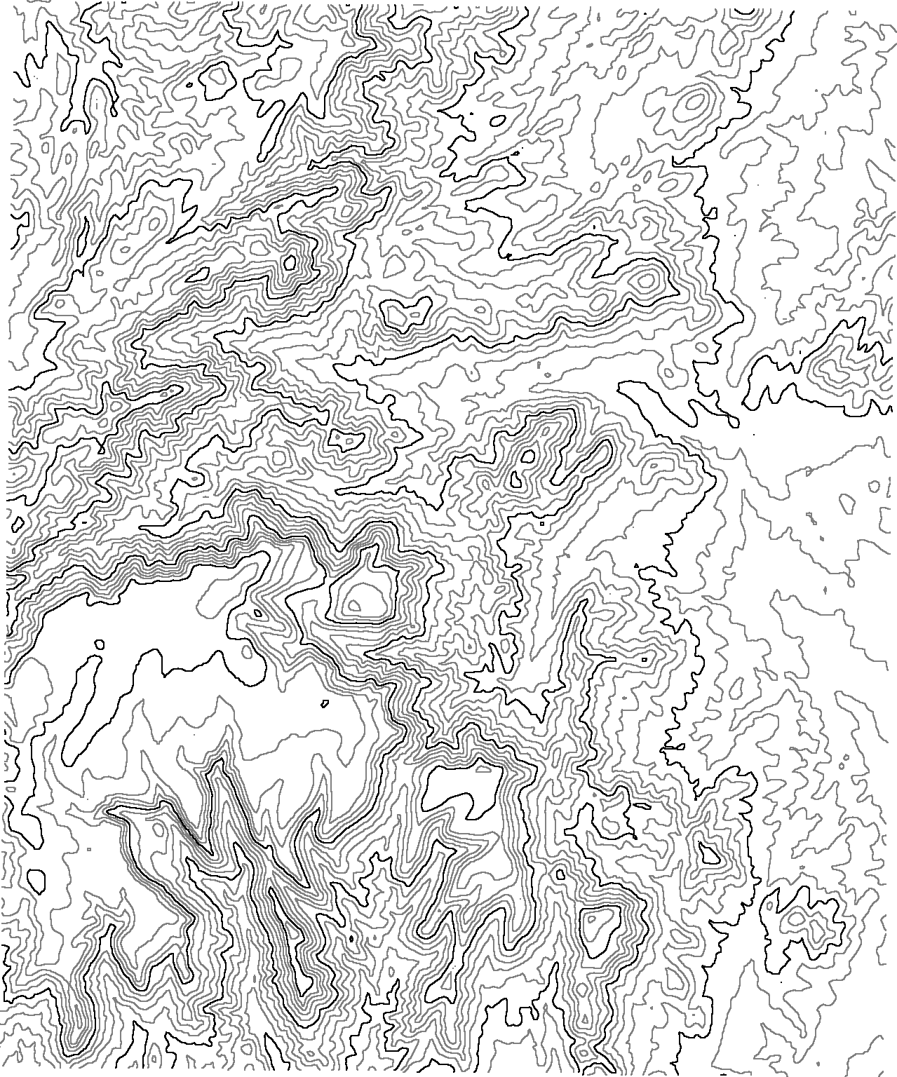
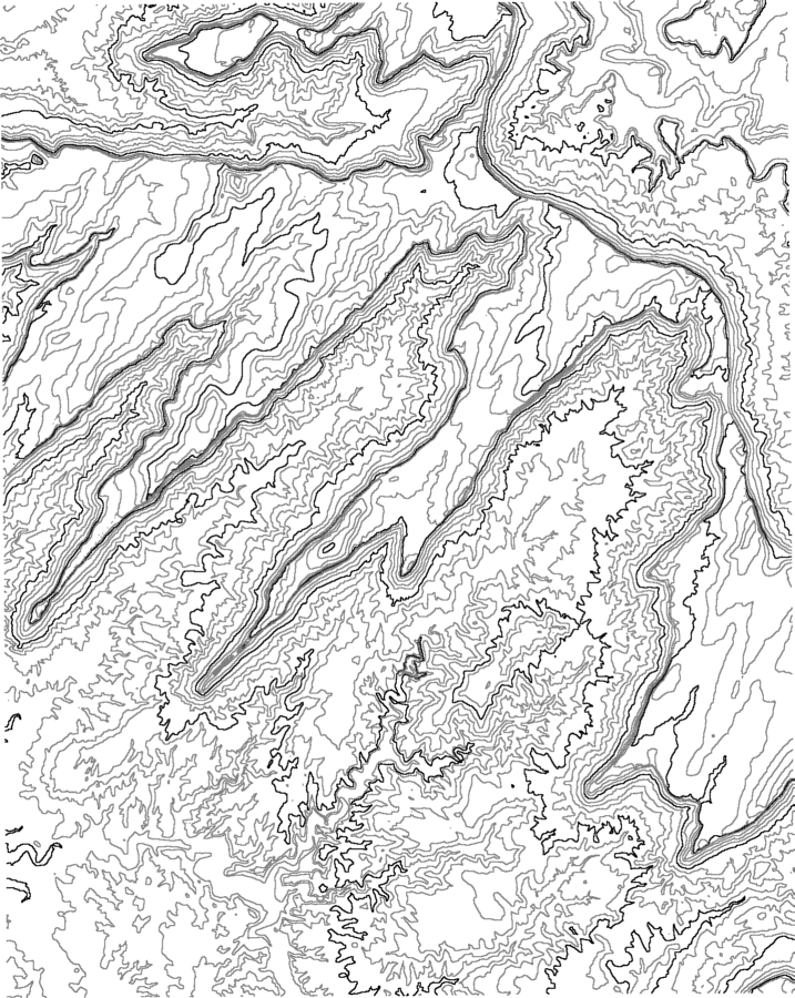
Caution:  The QTVR movies are mostly 1 to 3 MB, and so may require 10 or more minutes to download on slow Internet connections. I made the movies as small as I could without sacrificing quality and usability. If you want a quicker view, check out the single 3D image instead.  Contour intervals are mostly 30 meters.  Use your BACK button to return to this page.

Simple Features -- a good place to start to teach students what different features look like.
Simple hill:  Simply a simple hill with simple contours Tilt and Spin Movie
(non-QTVR)
-- 3 MB
QTVR Movie
Caution -- 5 MB file
Simple hill contours
Shade Movie
(non-QTVR from flat map view to shaded relief) 
Shade Movie B&W
(non-QTVR from flat map view to shaded relief) 
Simple valley:  Valley in one of the peaks of the Henry Mtns., Utah Tilt and Spin Movie
(non-QTVR)
-- 3 MB
QTVR Movie
Caution -- 5 MB file
Simple valley contours
Shade Movie
(non-QTVR from flat map view to shaded relief) 
Shade Movie B&W
(non-QTVR from flat map view to shaded relief) 
Simple cliff:  Promontory Butte along the Mogollon rim, Arizona Tilt and Spin Movie
(non-QTVR)
-- 3 MB
QTVR Movie
Caution -- 5 MB file
Simple cliff contours
  Shade Movie B&W
(non-QTVR from flat map view to shaded relief) 
Simple cliff2:  irregular cliff in Utah Tilt and Spin Movie
(non-QTVR)
-- 3 MB
QTVR Movie
Caution -- 5 MB file
Simple cliff2 contours
  Shade Movie B&W
(non-QTVR from flat map view to shaded relief) 
Mountain:  Mt. Shasta, in the Cascade Mtns.  Tilt and Spin Movie
(non-QTVR)
-- 3 MB
QTVR Movie
Caution -- 5 MB file
Mountain contours
  Shade Movie B&W
(non-QTVR from flat map view to shaded relief) 
Mountains:  Several mountains in Weed area of California Tilt and Spin Movie
(non-QTVR)
-- 3 MB
QTVR Movie
Caution -- 5 MB file
Mountains contours
  Shade Movie B&W
(non-QTVR from flat map view to shaded relief) 
Complex Valley:  Valley in Utah, with some side drainages Tilt and Spin Movie
(non-QTVR)
-- 3 MB
QTVR Movie
Caution -- 5 MB file
Complex valley contours
  Shade Movie B&W
(non-QTVR from flat map view to shaded relief) 
Volcano:  One of the Menan Buttes of Idaho Tilt and Spin Movie
(non-QTVR)
-- 3 MB
QTVR Movie
Caution -- 5 MB file
Volcano contours
  Shade Movie B&W
(non-QTVR from flat map view to shaded relief) 
Depressions:  Sinkholes and the like from Florida; greatly vertically exaggerated Tilt and Spin Movie
(non-QTVR)
-- 3 MB
QTVR Movie
Caution -- 5 MB file
Depressions contours
  Shade Movie B&W
(non-QTVR from flat map view to shaded relief) 
Complex landscape:  Valley, ridges, and mountains in Weed area of California Tilt and Spin Movie
(non-QTVR)
-- 3 MB
QTVR Movie
(caution -- big file)

Complex landscape contours

  Shade Movie B&W
(non-QTVR from flat map view to shaded relief) 
Complex Features -- Entire quadrangles with more diverse topographic features.

Hickey Mountain Quadrangle, Arizona: eroded mesa surrounded by lower, irregular topography near Jerome

Movie with contours and water plane Movie with contours Hickey Mountain contours
Movie with numbered topographic features Movie with numbered topographic features: Advanced version
New River Mesa, Arizona: canyon flanked by several mesas and ridges north of Scottsdale Movie with contours and water plane Movie with contours New River Mesa contours
Movie with numbered topographic features Movie with numbered topographic features: Advanced version

Loy Butte, Arizona:  irregular canyon along the Mogollon Rim, near Sedona

Movie with contours and water plane Movie with contours Loy Butte contours

Poland Junction Quadrangle, Arizona: eroded mesa flanked by lower, irregular topography

Movie with contours and water plane Movie with contours Poland Junction contours
Mt. Hiller, Utah: mountain with ridges and small valleys Dual-pane movie with contours and water plane: Map view on left and 3D perspective on right, with coordinated water plane    
Mancos Mesa, Utah:  Linear ridges flanked by cliffs, over badlands

Movie with contours and water plane

  Mancos Mesa contours
Other Resources -- Topographic Profiles and other Movies

Topographic Profile: Cut through terrain, creating a succession of topographic profiles. Drag vertically in QTVR movie

Movie with simple topographic profile 
(non-QTVR: drag slider to step through movie, or just play it)
QTVR movie of topographic profile with haze 
(we like the hazy one better)


Return to Topographic Gallery Home Page


© Copyright 2001 by Stephen J Reynolds and Julia K. Johnson.  These images can be freely used for educational purposes as long as the source is cited. 

Page created by: S. Reynolds