|
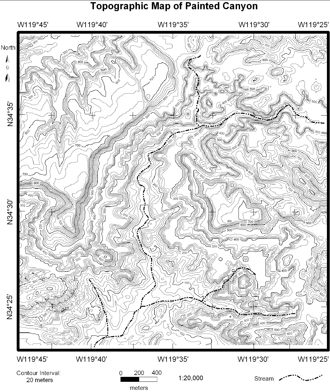
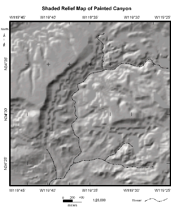
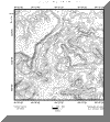
There are a number of different maps of Painted Canyon, including a
topographic map (shows contours), a shaded relief map (shows the
landscape as a 3D perspective with shadows), maps showing steepness of slopes,
various combinations of the above, and aerial photographs. Click on the small
images to see larger ones.
|
Topographic
map
|
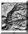
|
Shaded relief
map
|
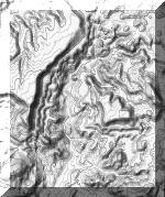 |
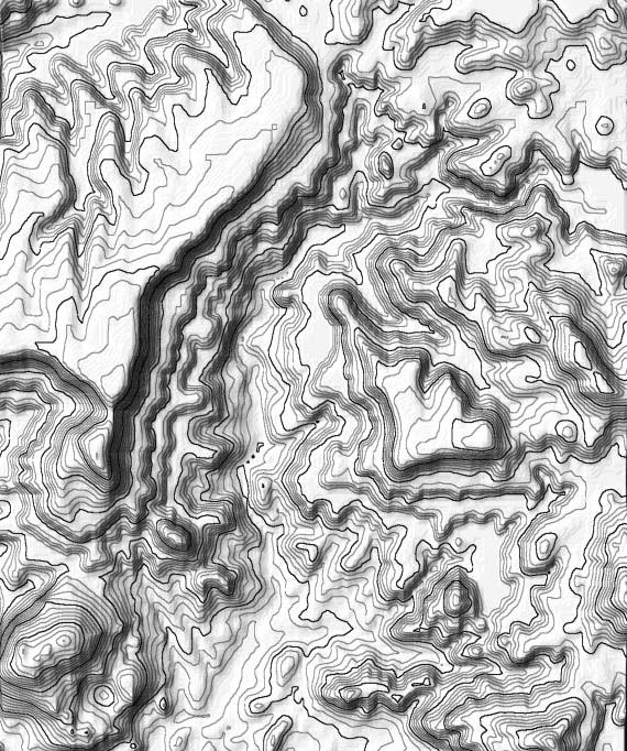
Shaded contour map with no labels |
|
|
|
|
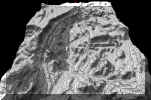
QuickTime VR Movie of contours draped over topography for Painted
Canyon. Click and drag sideways to spin and
up-down to tilt the view. The movie file
is large (10 Mb) so give it some time to load.
|
|
|
|
|
|
|
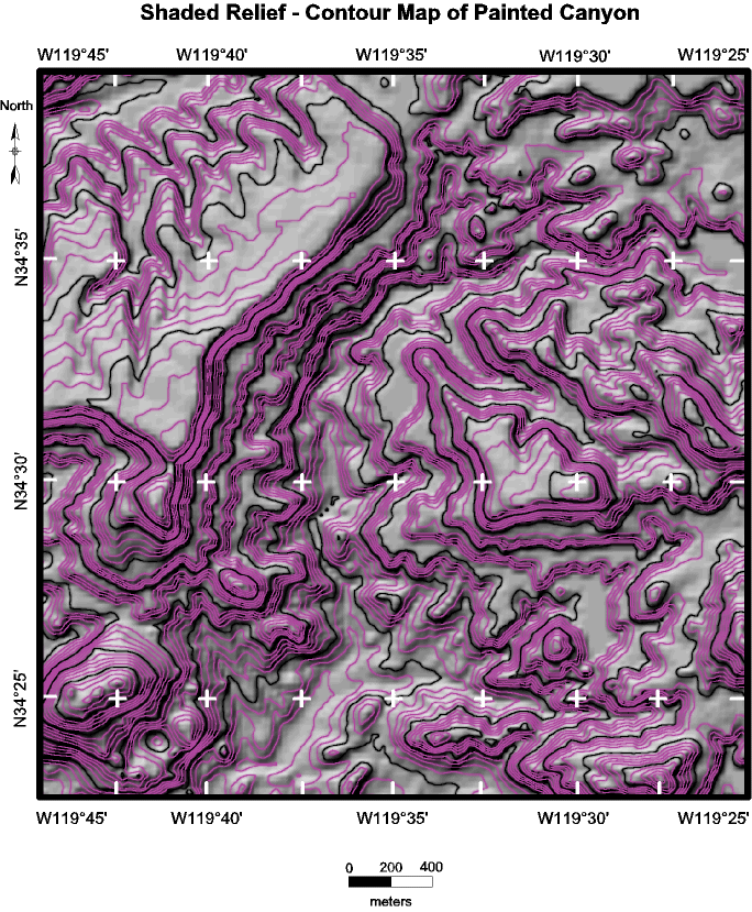
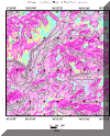
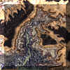
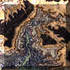
Contours
overprinted on a shaded relief map |
|
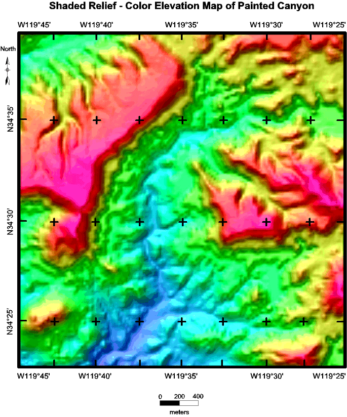
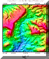
Shaded
relief map colored by elevation (warm colors = high
elevation, cold colors = low elevation) |
|
|
|
|
|
|
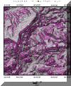
Shaded
relief map colored based on slope (purple is steep, green and blue
are gentle slopes, and yellow is
intermediate in slope) |
|
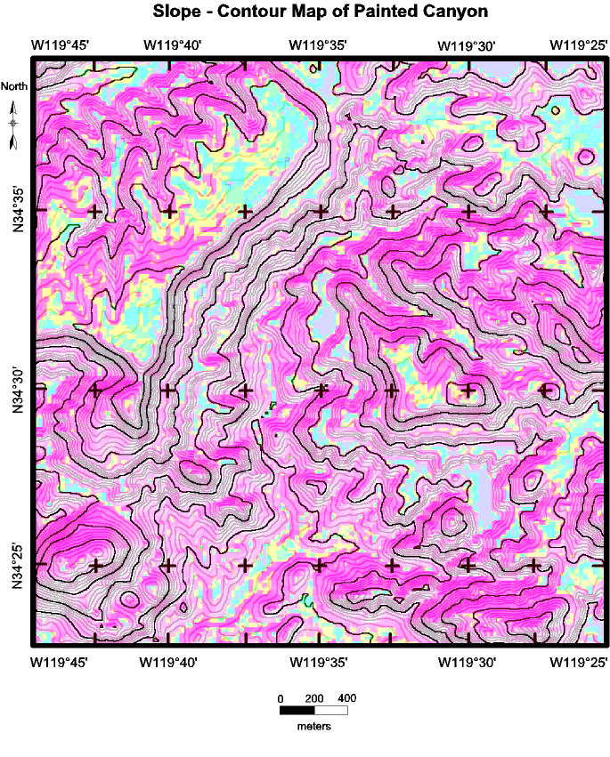
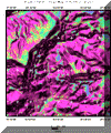
Contours
overprinted on a map showing slopes (purple is steep, green and blue
are gentle slopes, and yellow is
intermediate in slope) |
|
|
|
|
|
|
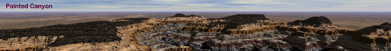
Aerial
photograph |
|
Aerial photograph, very detailed version. Click on it only if
you really need it (it's a really big file) |
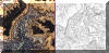 |
Aerial photograph and contour map at the same scale |
|